
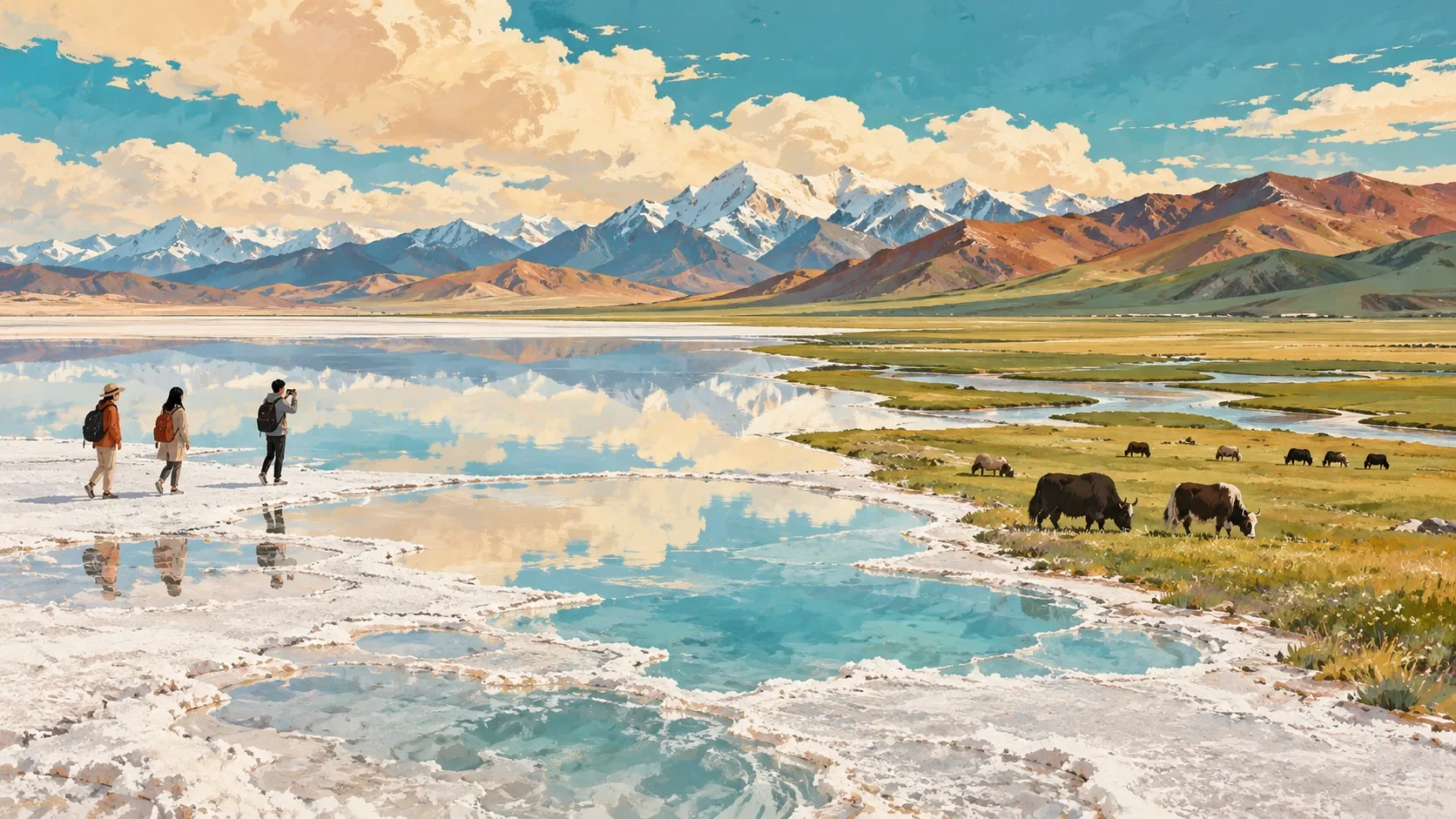
Qinghai is a high-altitude province of salt lakes, grasslands, Tibetan and Hui communities, desert basins and the headwaters of major rivers. It cannot be covered responsibly in a three-day “grand loop.” Begin in Xining, choose one regional circuit and build in altitude and road buffers. Qinghai Lake is the easiest first extension; the Qaidam Basin and southern national-park country require much more time and preparation.
The full handbook is part of the paid series
You have read the free preview — the introduction and the route map. The complete handbook adds the day-by-day plan, tickets and transport, culture and etiquette, food, useful Chinese, and the dated source list.